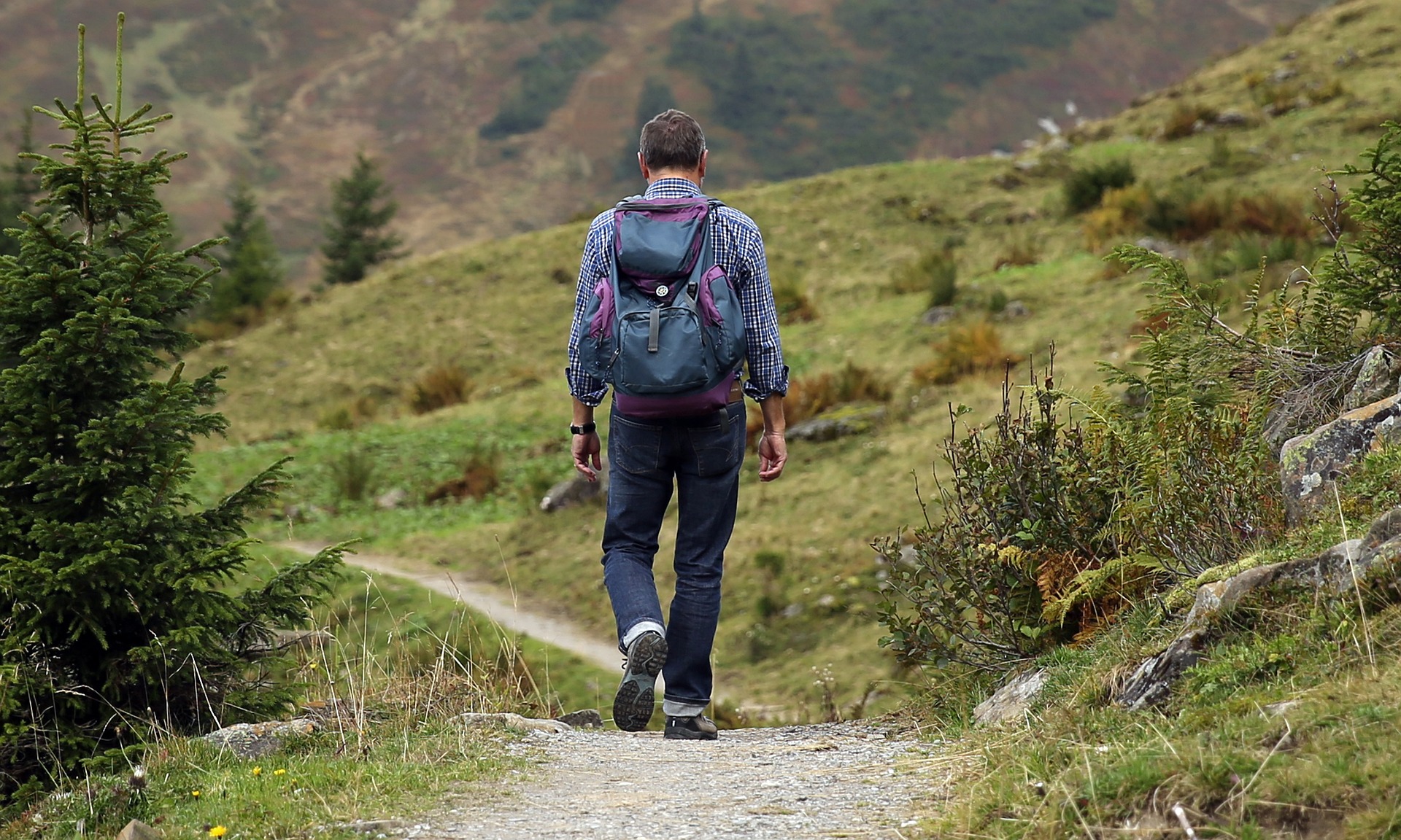
A good trail is one that is easy to follow and well maintained. Each trail is designed, constructed and maintained to meet specific standards. These standards relate to the recreational experience the trail is intended to provide. But trails are something many of us take for granted — they are just there, as if naturally formed.
So over the next two episodes, we’re going to work to deconstruct the design and effort of creating and maintaining trails. We’re bringing you two episodes of short stories all about trails.
On Trails with Robert Moor
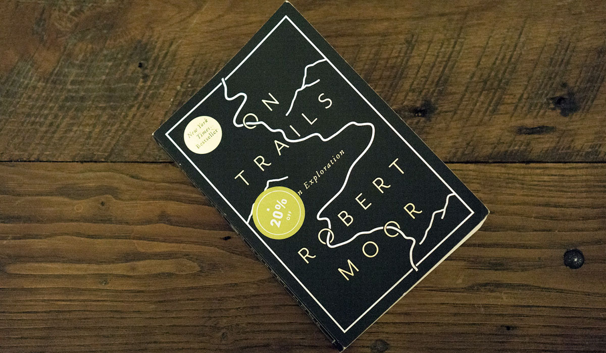
To kick things off, Roman talks with author Robert Moor, author of On Trails, about just what trails are and how they come to be. As Robert tells it, the desire paths of least resistance is what unites the human and non-human world in our trail building. But it’s also where human trails set themselves apart. Where animal trails almost always find the most efficient route between resources, our own trails are determined by another set of rules entirely.
Behind the Scenery with Kurt Kohlstedt
Across the nation, tens of thousands of miles of trails are managed by the state and federal governments and including everything from local trails to high profile hikes like the Appalachian Trail and the Pacific Crest Trail. They’re all engineered, built and heavily designed to maintain a sort of naturalistic illusion to create a “wilderness experience” for visitors. And that takes a lot of thoughtful design work.
The British Mapmaker with Jay Cockburn
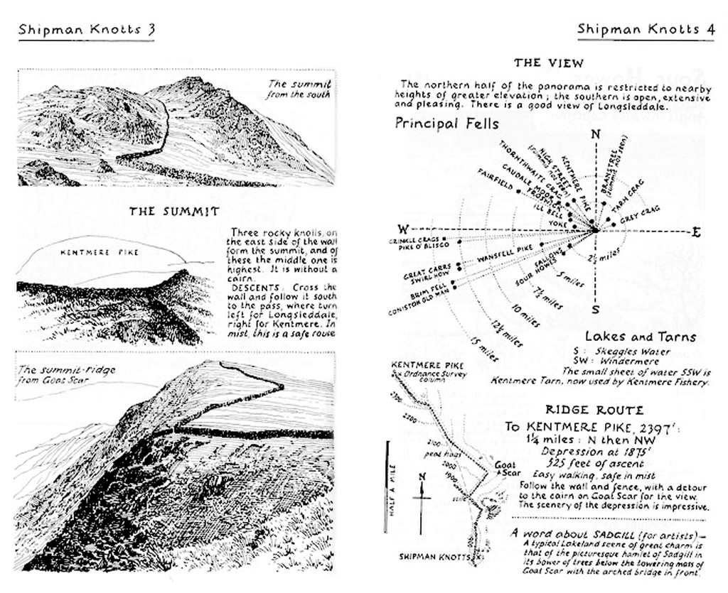
A set of seven books make up “A Pictorial Guide to the Lakeland Fells”, by Alfred Wainwright. The books were published between 1953 and 1966 and have become a staple for many Cumbrians, as well as for tourists to the area. Even today, GPS is useful but a book doesn’t need a battery, and there’s nothing quite like a carefully drawn illustration. His writing is blunt, often opinionated, but very appreciative of the fells’ stark beauty. Today, in the village of Buttermere, nestled between peaks known as Grasmoor and Haystacks, is a low stone church. Inside it is a plaque. It reads, “Pause and remember Alfred Wainwright, fell walker, guide book author and illustrator, who loved this valley. Lift your eyes to Haystacks, his favourite place.”
Misleading Maps with Chris Berube
A couple of years ago in Scotland, Google Maps was showing a path for hikers on Ben Nevis, telling hikers of this 4,500 foot mountain to climb over very steep, rocky terrain … and Mountaineering Scotland had to get involved. And they called the trail potentially fatal. Google changed it, but there are so many stories of hikers getting lost or taking these weird routes because the mapping software is telling them where to go. So if you’re hiking especially, if you’re in a new place, using the built-in map on your phone is probably not a good idea because they’re not designed for that. Chris recounts his recent fateful trip the awkward and exhausting way up Mount Royale in Montreal, Canada.

Leave a Comment
Share